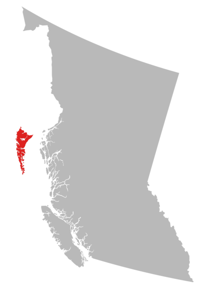
File:Haida Gwaii Map.png

Size of this preview: 433 × 599 pixels. Other resolutions: 173 × 240 pixels | 347 × 480 pixels | 555 × 768 pixels | 740 × 1,024 pixels | 1,447 × 2,001 pixels.
Original file (1,447 × 2,001 pixels, file size: 94 KB, MIME type: image/png)
Summary
| Description |
English: Haida Gwaii map |
| Date | |
| Source | Own work |
| Author | Danachos |
Licensing
I, the copyright holder of this work, hereby publish it under the following license:
This file is licensed under the Creative Commons Attribution-Share Alike 4.0 International license.
- You are free:
- to share – to copy, distribute and transmit the work
- to remix – to adapt the work
- Under the following conditions:
- attribution – You must give appropriate credit, provide a link to the license, and indicate if changes were made. You may do so in any reasonable manner, but not in any way that suggests the licensor endorses you or your use.
- share alike – If you remix, transform, or build upon the material, you must distribute your contributions under the same or compatible license as the original.
File history
Click on a date/time to view the file as it appeared at that time.
| Date/Time | Thumbnail | Dimensions | User | Comment | |
|---|---|---|---|---|---|
| current | 04:29, 17 September 2017 | | 1,447 × 2,001 (94 KB) | wikimediacommons>Danachos | User created page with UploadWizard |
File usage
The following 3 pages use this file:
- Course:CONS370/Projects/Lyell Island, the building block for successful Forest Land Agreements on Haida Gwaii, British Columbia, Canada
- Course:CONS370/Projects/The effects on the Haida and Squamish Indigenous Peoples of British Columbia, Canada from the operations of large forestry companies on their traditional forests
- Course:FRST370/2021/Haida Gwaii Strategic Land Use Agreement