File:Sot River Protected Area Sign.jpg

Size of this preview: 800 × 534 pixels. Other resolutions: 320 × 214 pixels | 640 × 427 pixels | 1,024 × 683 pixels | 1,280 × 854 pixels | 2,560 × 1,709 pixels | 7,360 × 4,912 pixels.
Original file (7,360 × 4,912 pixels, file size: 31 MB, MIME type: image/jpeg)
Summary
| Description |
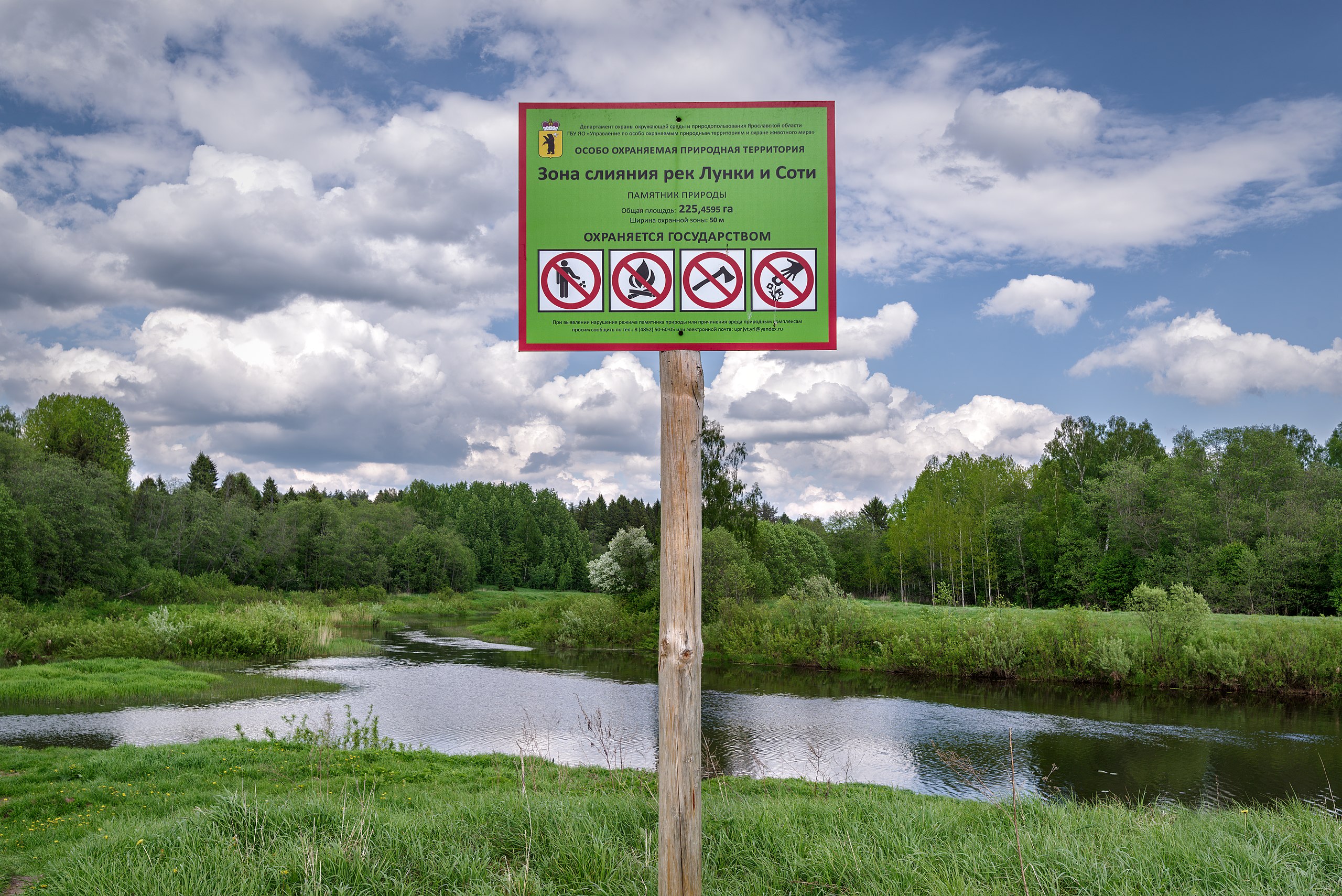
Русский: Знак особо охраняемой природной территории зоны слияния Рек Лунки и Соти. Вид с запада на восток.
Зона слияния рек Лунка и Соть: По обеим сторонам рек Лунка и Соть, в 1 км вверх по течению от места впадения р. Лунка, на 4,5 км вниз по течению р. Соть до д. Чурилово, д. Чурилово, Даниловский район, Ярославская область
English: Protected area sign. The area of confluence of rivers Sot and Lunka. Yaroslavl region, Russian Federation.
|
|||
| Date | Taken on 26 May 2019, 15:16:54 | |||
| Source | Own work | |||
| Author | Edward Kosarev |
| Camera location | | View this and other nearby images on: OpenStreetMap |
|---|
Licensing
I, the copyright holder of this work, hereby publish it under the following license:
This file is licensed under the Creative Commons Attribution-Share Alike 4.0 International license.
- You are free:
- to share – to copy, distribute and transmit the work
- to remix – to adapt the work
- Under the following conditions:
- attribution – You must give appropriate credit, provide a link to the license, and indicate if changes were made. You may do so in any reasonable manner, but not in any way that suggests the licensor endorses you or your use.
- share alike – If you remix, transform, or build upon the material, you must distribute your contributions under the same or compatible license as the original.
This image was uploaded as part of Wiki Loves Earth 2019.
|
 |
File history
Click on a date/time to view the file as it appeared at that time.
| Date/Time | Thumbnail | Dimensions | User | Comment | |
|---|---|---|---|---|---|
| current | 20:09, 29 May 2019 | | 7,360 × 4,912 (31 MB) | wikimediacommons>Stoxastikos | User created page with UploadWizard |
File usage
The following page uses this file: