File:Map of the Downtown Eastside.png
No higher resolution available.
Map_of_the_Downtown_Eastside.png (534 × 341 pixels, file size: 73 KB, MIME type: image/png)
Summary
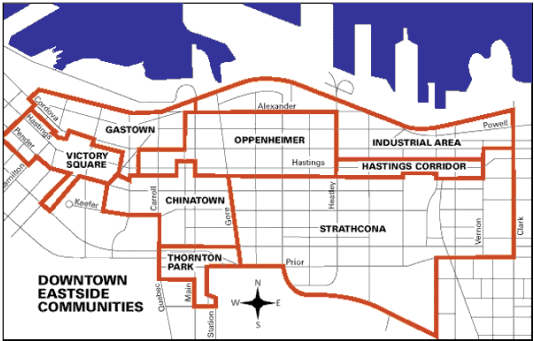
| Description | English: Map showing the extent of the Downtown Eastside neighbourhood and the sub-areas it encompasses |
| Date | 21 June 2013 |
| File source | City of Vancouver, “Downtown Eastside Map,” http://vancouver.ca/commsvcs/planning/dtes/index.htm (Accessed 19 June 2013). |
| Author | City of Vancouver |
Licensing
|
|
File history
Click on a date/time to view the file as it appeared at that time.
| Date/Time | Thumbnail | Dimensions | User | Comment | |
|---|---|---|---|---|---|
| current | 19:34, 21 June 2013 | | 534 × 341 (73 KB) | MaryMiles (talk | contribs) |
You cannot overwrite this file.
File usage
The following 2 pages use this file: