File:Map of Nisg̱a’a First Nation, British Columbia.png

Size of this preview: 596 × 600 pixels. Other resolution: 980 × 986 pixels.
Original file (980 × 986 pixels, file size: 149 KB, MIME type: image/png)
Summary
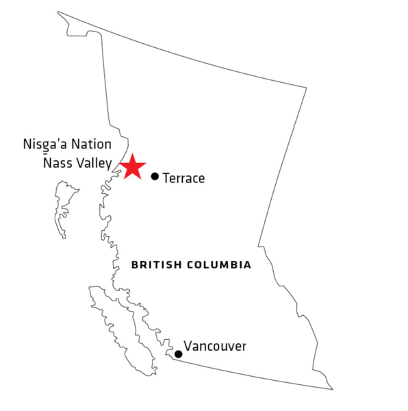
| Description | English: Locater maps of Nisg̱a’a First Nation, British Columbia from https://www.nisgaanation.ca/maps-3 * Nisg̱a’a Lisims Government noted these maps are not to scale and for informational purposes only. |
| Date | 15 December 2022 |
| File source | https://www.nisgaanation.ca/maps-3 |
| Author | Nisg̱a’a Lisims Government |
Licensing
|
|
File history
Click on a date/time to view the file as it appeared at that time.
| Date/Time | Thumbnail | Dimensions | User | Comment | |
|---|---|---|---|---|---|
| current | 20:16, 17 December 2023 | | 980 × 986 (149 KB) | SOPHIABENJEDDI (talk | contribs) | Uploaded a work by Nisg̱a’a Lisims Government from https://www.nisgaanation.ca/maps-3 with UploadWizard |
You cannot overwrite this file.