File:DTES Land Use Map.png
No higher resolution available.
DTES_Land_Use_Map.png (628 × 390 pixels, file size: 263 KB, MIME type: image/png)
Summary
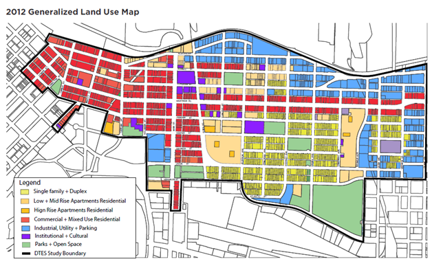
| Description | English: Generalized land use map of the DTES |
| Date | 21 June 2013 |
| File source | http://vancouver.ca/files/cov/profile-dtes-local-area-2012.pdf |
| Author | City of Vancouver. 2012. Downtown Local Area Profile 2012. Downtown Eastside Local Area Plan. Retrieved from http://vancouver.ca/files/cov/profile-dtes-local-area-2012.pdf |
Licensing
|
|
File history
Click on a date/time to view the file as it appeared at that time.
| Date/Time | Thumbnail | Dimensions | User | Comment | |
|---|---|---|---|---|---|
| current | 20:22, 21 June 2013 | | 628 × 390 (263 KB) | MaryMiles (talk | contribs) |
You cannot overwrite this file.
File usage
The following page uses this file: