File:B30 Historical.gif
No higher resolution available.
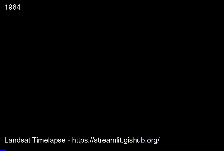
B30_Historical.gif (768 × 518 pixels, file size: 7.78 MB, MIME type: image/gif, looped, 38 frames, 38 s)
Note: Due to technical limitations, thumbnails of high resolution GIF images such as this one will not be animated.
Summary
| Description | English: Bukit Tigapuluh Landscape Central Sumatera Historical Changes - Landscape - by https://streamlit.gishub.org/ |
| Date | 15 December 2021 |
| File source | https://streamlit.gishub.org/
https://github.com/giswqs/streamlit-geospatial https://github.com/giswqs/streamlit-geospatial/blob/master/LICENSE |
| Author | Quisheng Wu - https://github.com/giswqs/streamlit-geospatial |
Licensing
|
|
File history
Click on a date/time to view the file as it appeared at that time.
| Date/Time | Thumbnail | Dimensions | User | Comment | |
|---|---|---|---|---|---|
| current | 22:11, 15 December 2021 | | 768 × 518 (7.78 MB) | MIQBALFIRDAUS (talk | contribs) | Uploaded a work by Quisheng Wu - https://github.com/giswqs/streamlit-geospatial from https://streamlit.gishub.org/ https://github.com/giswqs/streamlit-geospatial https://github.com/giswqs/streamlit-geospatial/blob/master/LICENSE with UploadWizard |
You cannot overwrite this file.