File:Screen Shot 2023-04-13 at 10.35.04.png
Size of this preview: 800 × 421 pixels. Other resolution: 2,009 × 1,057 pixels.
Original file (2,009 × 1,057 pixels, file size: 918 KB, MIME type: image/png)
Summary
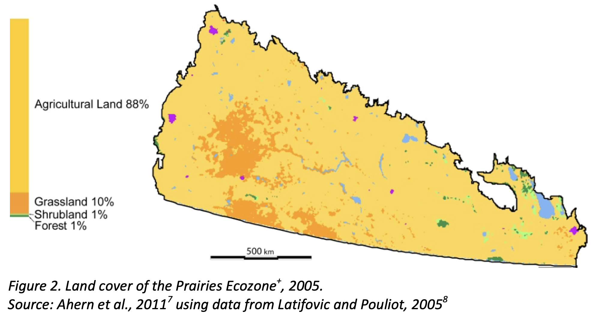
| Description | English: A map showing the land use in the Canadian Prairie Ecozone. |
| Date | 1 January 2004 |
| File source | https://publications.gc.ca/collections/collection_2015/ec/En14-43-0-4-2014-eng.pdf |
| Author | ESTR Secretariat |
Licensing
|
|
File history
Click on a date/time to view the file as it appeared at that time.
| Date/Time | Thumbnail | Dimensions | User | Comment | |
|---|---|---|---|---|---|
| current | 17:36, 13 April 2023 | | 2,009 × 1,057 (918 KB) | JessicaHermus (talk | contribs) | Uploaded a work by ESTR Secretariat from https://publications.gc.ca/collections/collection_2015/ec/En14-43-0-4-2014-eng.pdf with UploadWizard |
You cannot overwrite this file.
File usage
The following page uses this file: