File:OpenStreetMap - Newborough Forest with Llyn Parc Mawr.png
Size of this preview: 664 × 600 pixels. Other resolution: 858 × 775 pixels.
Original file (858 × 775 pixels, file size: 423 KB, MIME type: image/png)
Summary
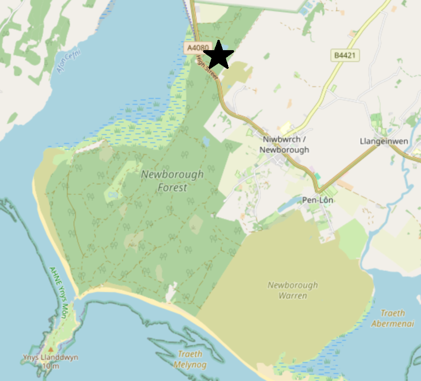
| Description | English: Map of Newborough Forest and Newborough Warren on the Isle of Anglesey, with a black star indicating the location of Llyn Parc Mawr community woodland. |
| Date | 14 December 2023 |
| File source | https://www.openstreetmap.org/search?query=newborough%20forest#map=13/53.1601/-4.3906&layers=N |
| Author | OpenStreetMap |
Licensing
|
|
File history
Click on a date/time to view the file as it appeared at that time.
| Date/Time | Thumbnail | Dimensions | User | Comment | |
|---|---|---|---|---|---|
| current | 19:38, 14 December 2023 | | 858 × 775 (423 KB) | MargotMaclaren (talk | contribs) | |
| 19:00, 14 December 2023 |  | 857 × 777 (424 KB) | MargotMaclaren (talk | contribs) | Uploaded a work by OpenStreetMap from https://www.openstreetmap.org/search?query=newborough%20forest#map=13/53.1601/-4.3906&layers=N with UploadWizard |
You cannot overwrite this file.