File:Map of Mongolia.png

Size of this preview: 800 × 444 pixels. Other resolution: 807 × 448 pixels.
Original file (807 × 448 pixels, file size: 347 KB, MIME type: image/png)
Summary
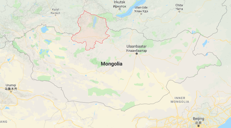
| Description | English: This is map of Mongolia with red outlining the province of Khovsgol |
| Date | 4 December 2017 () |
| File source | https://www.google.ca/maps/place/Khuvsgul,+Mongolia/@47.7973273,102.1082816,5z/data=!4m5!3m4!1s0x5d0a9b1ffef46257:0xfd9b57cb1374975e!8m2!3d50.2204484!4d100.3213768 |
| Author | Google maps |
Licensing
{{subst:uwl}}
File history
Click on a date/time to view the file as it appeared at that time.
| Date/Time | Thumbnail | Dimensions | User | Comment | |
|---|---|---|---|---|---|
| current | 09:36, 4 December 2017 | | 807 × 448 (347 KB) | PriteshPatel (talk | contribs) | User created page with UploadWizard |
You cannot overwrite this file.
File usage
The following page uses this file: