File:Map-Africa-Southern Africa-Regions.png
Size of this preview: 703 × 600 pixels. Other resolutions: 281 × 240 pixels | 563 × 480 pixels | 974 × 831 pixels.
Original file (974 × 831 pixels, file size: 264 KB, MIME type: image/png)
Summary
| Description |
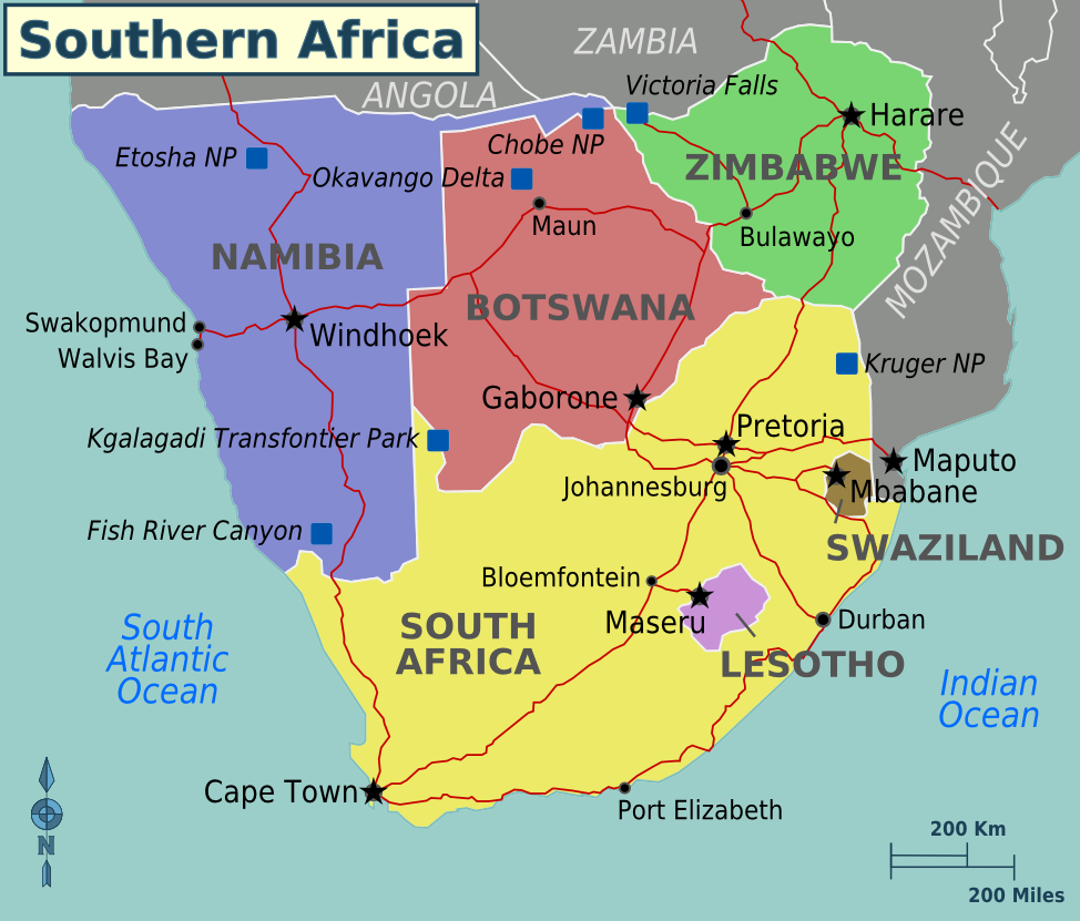
Map of Southern Africa regions for use on Wikivoyage, English version |
| Date | 27 May 2007 (original upload date) |
| Source | Own work based on the map of Africa |
| Author | Nick Roux and Shaund |
| Other versions | SVG base file |

|
This file has been superseded by Southern Africa new map.png. It is recommended to use the other file. Please note that deleting superseded images requires consent.
|

|
Licensing
| This work has been released into the public domain by its author, User: (WT-shared) NJR ZA at wts wikivoyage. This applies worldwide. In some countries this may not be legally possible; if so: User: (WT-shared) NJR ZA at wts wikivoyage grants anyone the right to use this work for any purpose, without any conditions, unless such conditions are required by law.
|
Original upload log
| This file was imported from Wikivoyage WTS. |
The original description page was here. All following user names refer to wts.wikivoyage-old.
- 2007-05-27 13:41 (WT-shared) NJR ZA archive copy at the Wayback Machine 1265×792 (169498 bytes) {{Imagecredit|credit=Nick Roux|captureDate=20070527|location=Southern Africa|source=[[Image:Map-Africa-Southern_Africa-Regions.svg]]|caption (Import from wikitravel.org/shared)
- 2009-02-15 01:48 (WT-shared) Shaund archive copy at the Wayback Machine 974×831 (271289 bytes) Update colours, add roads and more destinations, adjust coastline (Import from wikitravel.org/shared)
- 2009-12-13 17:53 (WT-shared) Shaund archive copy at the Wayback Machine 974×831 (270153 bytes) update for spelling mistake, formatting of region names (Import from wikitravel.org/shared)
File history
Click on a date/time to view the file as it appeared at that time.
| Date/Time | Thumbnail | Dimensions | User | Comment | |
|---|---|---|---|---|---|
| current | 10:30, 5 December 2012 | | 974 × 831 (264 KB) | wikimediacommons>OgreBot | (BOT): Reverting to most recent version before archival |
File usage
The following page uses this file: