File:Isle of Anglesey UK map.svg

Size of this PNG preview of this SVG file: 681 × 600 pixels. Other resolutions: 273 × 240 pixels | 545 × 480 pixels | 872 × 768 pixels | 1,163 × 1,024 pixels | 2,325 × 2,048 pixels | 1,425 × 1,255 pixels.
Original file (SVG file, nominally 1,425 × 1,255 pixels, file size: 633 KB)
| Description |
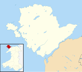
Blank map of the Anglesey, UK with districts shown. Equirectangular map projection on WGS 84 datum, with N/S stretched 165% Geographic limits:
|
| Date | |
| Source | Ordnance Survey OpenData. Most data from Boundary-Line product. Lake data from Meridian 2 product. Inset derived from File: United Kingdom location map.svg by NordNordWest. |
| Author | Nilfanion, created using Ordnance Survey data |
| Permission (Reusing this file) |
This file is licensed under the Creative Commons Attribution-Share Alike 3.0 Unported license. Attribution: Contains Ordnance Survey data © Crown copyright and database right
|
File history
Click on a date/time to view the file as it appeared at that time.
| Date/Time | Thumbnail | Dimensions | User | Comment | |
|---|---|---|---|---|---|
| current | 10:05, 4 August 2010 | | 1,425 × 1,255 (633 KB) | wikimediacommons>Nilfanion | alter inset - Wales not UK |