File:Geog350map.png
Size of this preview: 800 × 448 pixels. Other resolution: 895 × 501 pixels.
Original file (895 × 501 pixels, file size: 1,019 KB, MIME type: image/png)
Summary
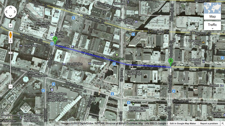
| Description | English: Map of our project area |
| Date | 22 June 2013 |
| File source | https://maps.google.ca/maps?hl=en&tab=il |
| Author |
Licensing
|
|
File history
Click on a date/time to view the file as it appeared at that time.
| Date/Time | Thumbnail | Dimensions | User | Comment | |
|---|---|---|---|---|---|
| current | 01:44, 23 June 2013 | | 895 × 501 (1,019 KB) | CassiaDrozdzik (talk | contribs) |
You cannot overwrite this file.
File usage
There are no pages that use this file.