File:Fs map.jpg
No higher resolution available.
Fs_map.jpg (450 × 308 pixels, file size: 53 KB, MIME type: image/jpeg)
Summary
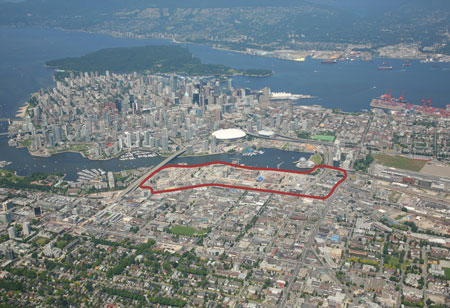
False Creek area is marked by red border line.
Copyright status:
n/a
Source:
Transport Canada official website: Southeast False Creek Transportation Study
File history
Click on a date/time to view the file as it appeared at that time.
| Date/Time | Thumbnail | Dimensions | User | Comment | |
|---|---|---|---|---|---|
| current | 19:55, 26 September 2012 | | 450 × 308 (53 KB) | VieraJanickova (talk | contribs) |
You cannot overwrite this file.
File usage
The following file is a duplicate of this file (more details):
There are no pages that use this file.