File:Canada British Columbia location map Okanagan.svg

Size of this PNG preview of this SVG file: 740 × 600 pixels. Other resolutions: 296 × 240 pixels | 593 × 480 pixels | 948 × 768 pixels | 1,264 × 1,024 pixels | 2,528 × 2,048 pixels | 2,419 × 1,960 pixels.
Original file (SVG file, nominally 2,419 × 1,960 pixels, file size: 1.5 MB)
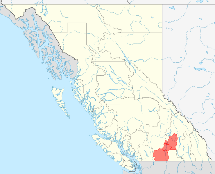
| Description | Quadratische Plattkarte, N-S-Streckung 170 %. Geographische Begrenzung der Karte: * N: 60.3° N * S: 48.1° N * W: 139.3° W * O: 113.7° W Equirectangular projection, N/S stretching 170 %. Geographic limits of the map: * N: 60.3° N * S: 48.1° N * W: 139.3° W * E: 113.7° W |
| Date | (UTC) |
| Source | |
| Author |
|
| This is a retouched picture, which means that it has been digitally altered from its original version. Modifications: Highlight of Okanagan region. The original can be viewed here: Canada British Columbia location map.svg:
|
I, the copyright holder of this work, hereby publish it under the following license:
This file is licensed under the Creative Commons Attribution-Share Alike 3.0 Unported license.
- You are free:
- to share – to copy, distribute and transmit the work
- to remix – to adapt the work
- Under the following conditions:
- attribution – You must give appropriate credit, provide a link to the license, and indicate if changes were made. You may do so in any reasonable manner, but not in any way that suggests the licensor endorses you or your use.
- share alike – If you remix, transform, or build upon the material, you must distribute your contributions under the same or compatible license as the original.
Original upload log
This image is a derivative work of the following images:
- File:Canada_British_Columbia_location_map.svg licensed with Cc-by-sa-3.0
- 2009-08-28T07:58:51Z NordNordWest 2419x1960 (1565035 Bytes)
- 2009-08-27T11:48:29Z NordNordWest 2419x1960 (1571053 Bytes) {{int:filedesc}} {{Information |Description= {{de|Positionskarte von [[:de:British Columbia|British Columbia]], [[:de:Kanada|Kanada]]}} Quadratische Plattkarte, N-S-Streckung 170 %. Geographische Begrenzung der Karte: * N: 60
Uploaded with derivativeFX
File history
Click on a date/time to view the file as it appeared at that time.
| Date/Time | Thumbnail | Dimensions | User | Comment | |
|---|---|---|---|---|---|
| current | 17:43, 20 December 2009 | | 2,419 × 1,960 (1.5 MB) | wikimediacommons>Arct | {{Information |Description={{de|Positionskarte von British Columbia, Kanada mit Hervorheben von Okanagan}} Quadratische Plattkarte, N-S-Streckung 170 %. Geographische Begrenzung der Karte: * N: 60.3° N * S: 48.1° |
File usage
The following 16 pages use this file:
- Course:EOSC311/2020/Biz of Earth
- Course:EOSC311/2020/How it was Built: The Great Wall of China
- Course:EOSC311/2020/Tourism BC Digital Geology Travel Brochure
- Course:EOSC311/2020/Will's Test
- Course:EOSC311/2021/Rie's test project
- Course:EOSC311/2022/Canada's Diamond
- Course:EOSC311/2022/Carbon Accounting & Carbon Offsets
- Course:EOSC311/2022/Mexico City is sinking
- Course:EOSC311/2022/Paradox Of Plenty: A Look Into The Resource Curse
- Course:EOSC311/2022/Paradox of Plenty: A Look Into the Resource Curse
- Course:EOSC311/2022/Psychological impact of experiencing earthquakes
- Course:EOSC311/2022/Psychological impact of experiencing natural disasters
- Course:EOSC311/2022/Psychological impact of natural disasters
- Course:EOSC311/2022/Rie and Will test project
- Course:EOSC311/2022/Urbanization-induced Hazards
- Course:EOSC311/Template