File:Screen Shot 2021-11-28 at 9.15.06 PM.png

Size of this preview: 800 × 532 pixels. Other resolution: 1,410 × 938 pixels.
Original file (1,410 × 938 pixels, file size: 2.12 MB, MIME type: image/png)
Summary
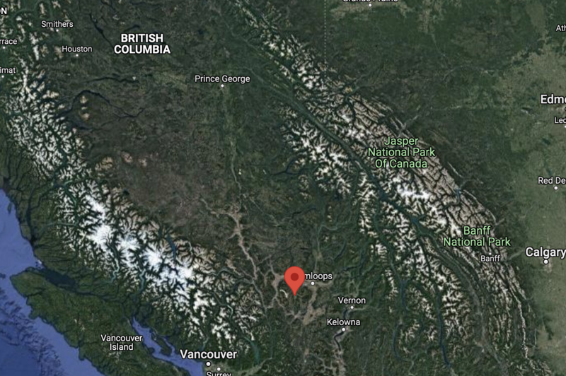
| Description | English: Map of Logan Lake in satellite google maps |
| Date | 28 November 2021 |
| File source | https://www.google.com/maps/place/Logan+Lake,+BC/@52.2766971,-123.2329875,1080532m/data=!3m1!1e3!4m5!3m4!1s0x5481ceabd52d8c15:0x8b048145563c140e!8m2!3d50.4911515!4d-120.8152537!5m1!1e4?hl=en |
| Author | Google Maps |
Licensing
|
|
File history
Click on a date/time to view the file as it appeared at that time.
| Date/Time | Thumbnail | Dimensions | User | Comment | |
|---|---|---|---|---|---|
| current | 05:17, 29 November 2021 | | 1,410 × 938 (2.12 MB) | KathleenSotelo (talk | contribs) | Uploaded a work by Google Maps from https://www.google.com/maps/place/Logan+Lake,+BC/@52.2766971,-123.2329875,1080532m/data=!3m1!1e3!4m5!3m4!1s0x5481ceabd52d8c15:0x8b048145563c140e!8m2!3d50.4911515!4d-120.8152537!5m1!1e4?hl=en with UploadWizard |
You cannot overwrite this file.
File usage
The following page uses this file: