File:Scenic bridge on the Trans Canada Trail in Nova Scotia.jpg

Size of this preview: 800 × 556 pixels. Other resolutions: 320 × 222 pixels | 640 × 445 pixels | 1,024 × 711 pixels | 1,280 × 889 pixels | 2,560 × 1,779 pixels | 6,209 × 4,314 pixels.
Original file (6,209 × 4,314 pixels, file size: 30.89 MB, MIME type: image/jpeg)
Summary
| Description |
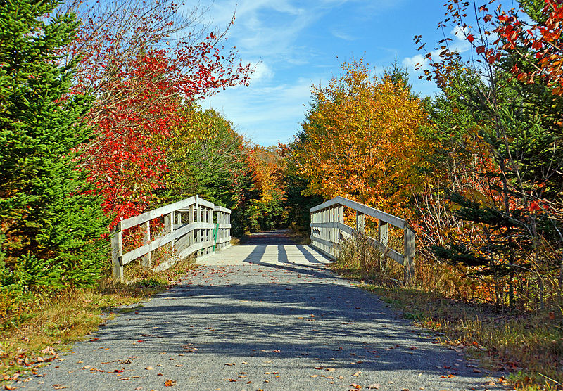
PLEASE, no multi invitations, glitters or self promotion in your comments, THEY WILL BE DELETED. My photos are FREE for anyone to use, just give me credit and it would be nice if you let me know, thanks - NONE OF MY PICTURES ARE HDR. This is a place where I walk a lot as it is next to my subdivision. The Trans Canada Trail is the world's longest network of recreational trails. When fully connected, the Trail will stretch 23,000 kilometres (14,000 mi) from the Atlantic to the Pacific and to the Arctic oceans. More than 16,800 kilometres (10,400 mi) of trail are currently usable, making it approximately 73% complete in 2012. |
| Date | |
| Source | DSC02785 - Trans Canada Trail |
| Author | Dennis Jarvis from Halifax, Canada |
| Other versions |
| Camera location | | View this and other nearby images on: OpenStreetMap |
|---|
Licensing
This file is licensed under the Creative Commons Attribution-Share Alike 2.0 Generic license.
- You are free:
- to share – to copy, distribute and transmit the work
- to remix – to adapt the work
- Under the following conditions:
- attribution – You must give appropriate credit, provide a link to the license, and indicate if changes were made. You may do so in any reasonable manner, but not in any way that suggests the licensor endorses you or your use.
- share alike – If you remix, transform, or build upon the material, you must distribute your contributions under the same or compatible license as the original.
| This image was originally posted to Flickr by archer10 (Dennis) at https://www.flickr.com/photos/22490717@N02/8100807019. It was reviewed on 4 May 2014 by FlickreviewR and was confirmed to be licensed under the terms of the cc-by-sa-2.0. |
File history
Click on a date/time to view the file as it appeared at that time.
| Date/Time | Thumbnail | Dimensions | User | Comment | |
|---|---|---|---|---|---|
| current | 02:50, 4 May 2014 | | 6,209 × 4,314 (30.89 MB) | wikimediacommons>FlickreviewR 2 | Replacing image by its original image from Flickr |