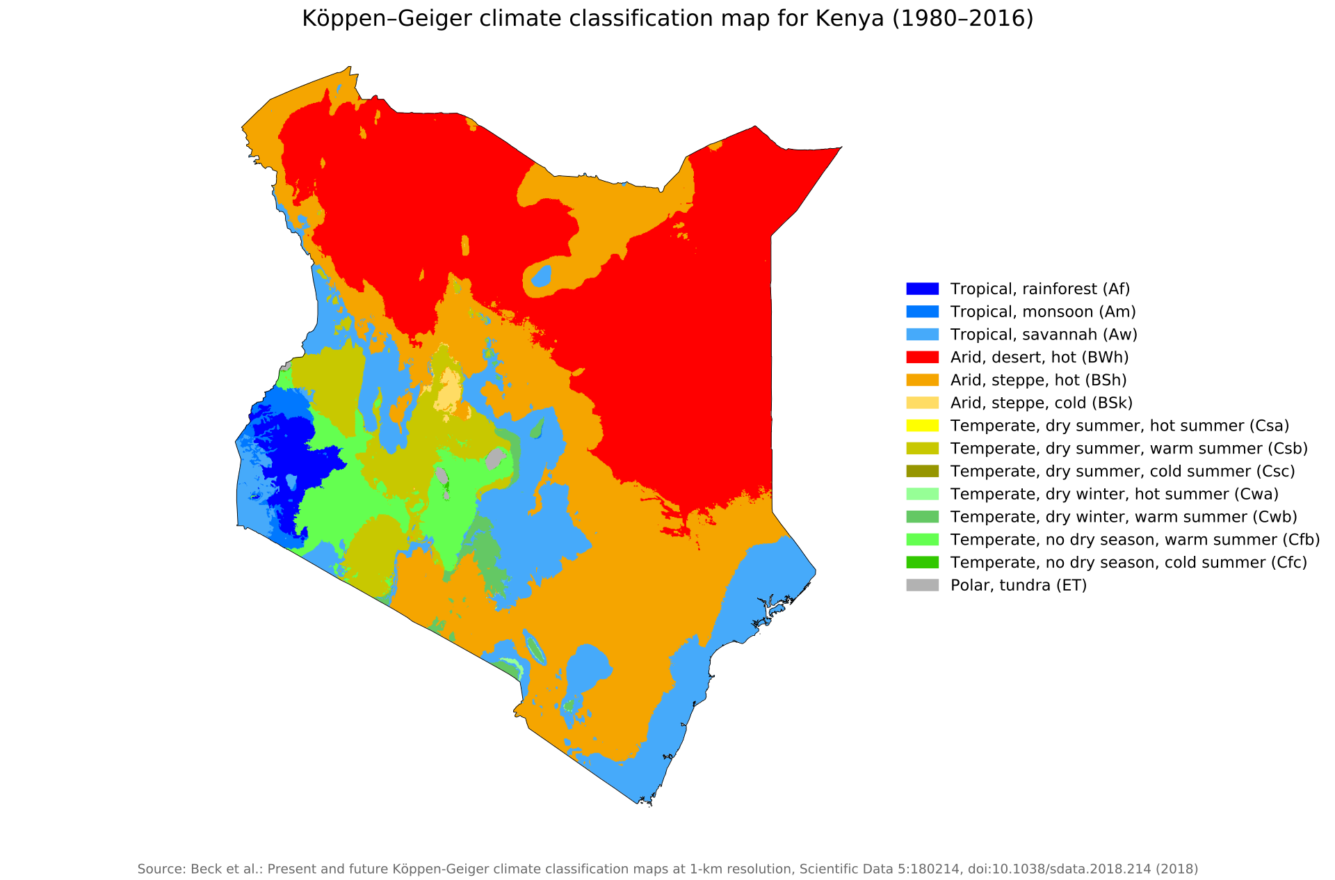
File:Köppen-Geiger climate classification map for Kenya (1980-2016).png
Size of this preview: 800 × 527 pixels. Other resolution: 1,920 × 1,265 pixels.
Original file (1,920 × 1,265 pixels, file size: 278 KB, MIME type: image/png)
Summary
| Description | English: Köppen–Geiger climate classification map for Kenya |
| Date | 6 April 2020 |
| File source | "Present and future Köppen-Geiger climate classification maps at 1-km resolution". Nature Scientific Data. DOI:10.1038/sdata.2018.214. |
| Author | Beck, H.E., Zimmermann, N. E., McVicar, T. R., Vergopolan, N., Berg, A., & Wood, E. F. |
Licensing
|
|
File history
Click on a date/time to view the file as it appeared at that time.
| Date/Time | Thumbnail | Dimensions | User | Comment | |
|---|---|---|---|---|---|
| current | 21:42, 6 April 2020 | | 1,920 × 1,265 (278 KB) | ImogenSeth (talk | contribs) | User created page with UploadWizard |
You cannot overwrite this file.
File usage
The following page uses this file:
.png&oldid=592079)