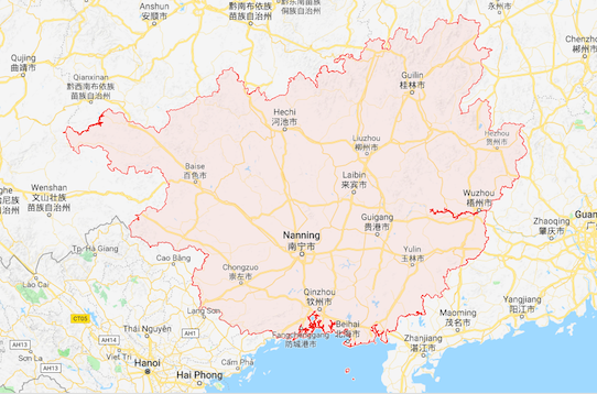
File:Guangxi map.png
No higher resolution available.
Guangxi_map.png (542 × 358 pixels, file size: 361 KB, MIME type: image/png)
Summary
| Description | English: the map of Guangxi, China |
| Date | 4 December 2017 () |
| File source | https://www.google.ca/maps/place/Guangxi,+China/@23.625865,106.0120842,7z/data=!3m1!4b1!4m5!3m4!1s0x36a4e4af44bcbf8f:0x61d9b3862087774a!8m2!3d23.7247599!4d108.8076195?hl=en |
| Author | Google map |
Licensing
{{subst:uwl}}
File history
Click on a date/time to view the file as it appeared at that time.
| Date/Time | Thumbnail | Dimensions | User | Comment | |
|---|---|---|---|---|---|
| current | 13:36, 4 December 2017 | | 542 × 358 (361 KB) | TONGYAOLOU (talk | contribs) | |
| 13:29, 4 December 2017 | 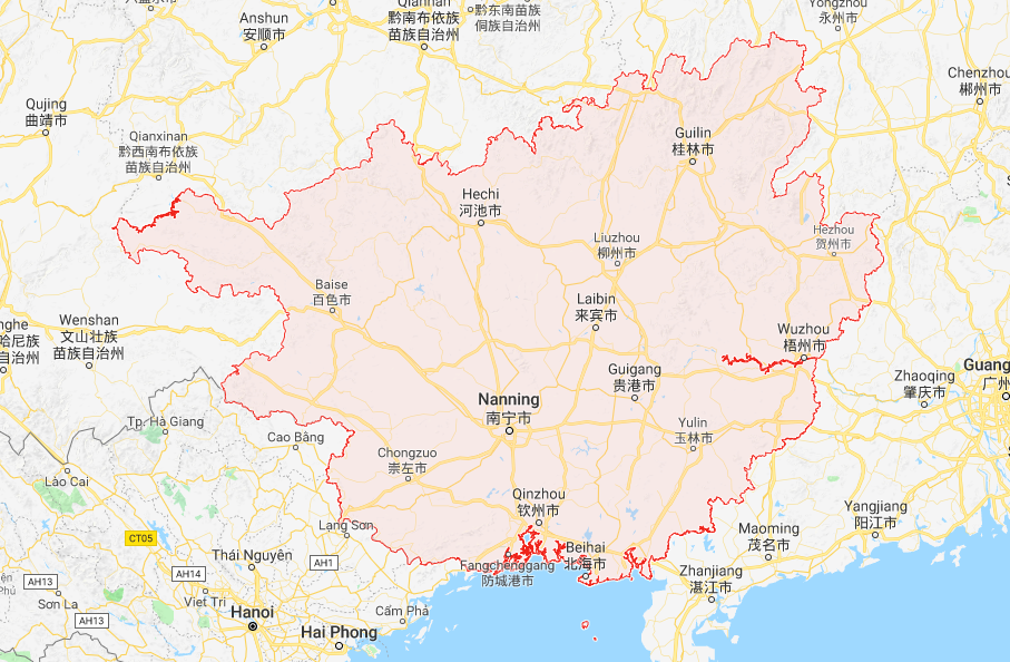 | 907 × 594 (681 KB) | TONGYAOLOU (talk | contribs) | User created page with UploadWizard |
You cannot overwrite this file.
File usage
The following page uses this file: