File:ForestAreas-Oct09-2018-page-001.jpg

Size of this preview: 463 × 599 pixels. Other resolution: 1,275 × 1,650 pixels.
Original file (1,275 × 1,650 pixels, file size: 374 KB, MIME type: image/jpeg)
Summary
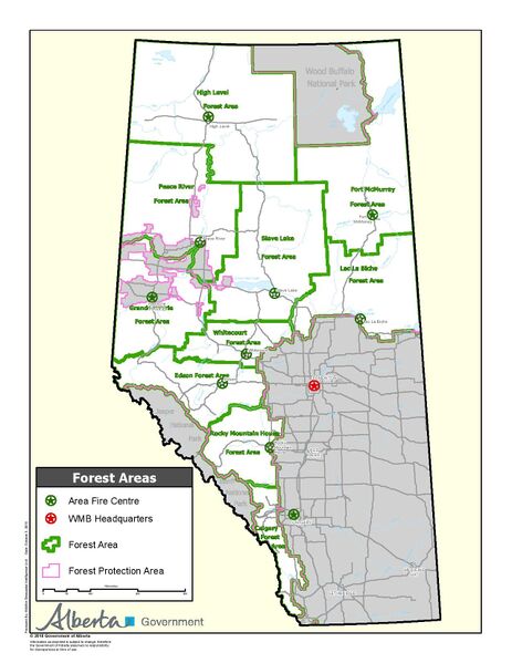
| Description | English: A map of the division of Albertas wildfire management zones. |
| Date | 2 January 2018 |
| File source | https://wildfire.alberta.ca/resources/maps-data/administrative-boundaries.aspx |
| Author | The Government of Alberta |
Licensing
|
|
File history
Click on a date/time to view the file as it appeared at that time.
| Date/Time | Thumbnail | Dimensions | User | Comment | |
|---|---|---|---|---|---|
| current | 23:07, 29 November 2019 | | 1,275 × 1,650 (374 KB) | DANEDESOUZA (talk | contribs) | User created page with UploadWizard |
You cannot overwrite this file.
File usage
The following page uses this file: