File:Aerial view. UBC Farm.png
Size of this preview: 800 × 518 pixels. Other resolution: 1,284 × 832 pixels.
Original file (1,284 × 832 pixels, file size: 2.24 MB, MIME type: image/png)
Summary
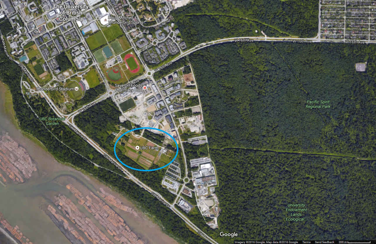
| Description | English: UBC Farm - Satellite aerial view |
| Date | 30 November 2016 () |
| File source | https://www.google.ca/maps |
| Author | Google Maps |
Licensing
|
|
File history
Click on a date/time to view the file as it appeared at that time.
| Date/Time | Thumbnail | Dimensions | User | Comment | |
|---|---|---|---|---|---|
| current | 04:51, 1 December 2016 | | 1,284 × 832 (2.24 MB) | KatrinaOng (talk | contribs) | User created page with UploadWizard |
You cannot overwrite this file.
File usage
The following 2 pages use this file: